Virtual environments for simulators
How to generate roads, towns and trails automatically for simulators: real enough to be believed, light enough for dynamic, immersive simulation.
- Role
- Design Researcher
- My part
- Research, 3D environments and AI workflow
- With
- Francesco Bottino
- Timeline
- May 2026 – now
- Tools
- Blender, Unity, Unreal Engine, Claude
The need
Simulation needs new virtual environments, fast. To generate them automatically, we first need the techniques that keep a scene light enough to run smoothly and ready to use with physics and in Unity.
The outcome
An AI tool that turns a description into a virtual environment that is realistic, light and ready for simulation. It picks the right technique for terrain, roads, buildings and vegetation, and checks the result against the simulator’s requirements.
The goal
Realistic environments that stay light enough for the simulator.
Every simulation requires a virtual environment, whether a road, an urban street or a mountain trail. Visual realism is necessary but not sufficient: the scene must sustain a stable frame rate in real time, provide reliable surfaces for vehicle and pedestrian physics, and integrate directly into Unity. The following requirements apply to every environment.
Performance
A defined triangle budget and levels of detail, so that only nearby geometry is rendered in full.
Realism
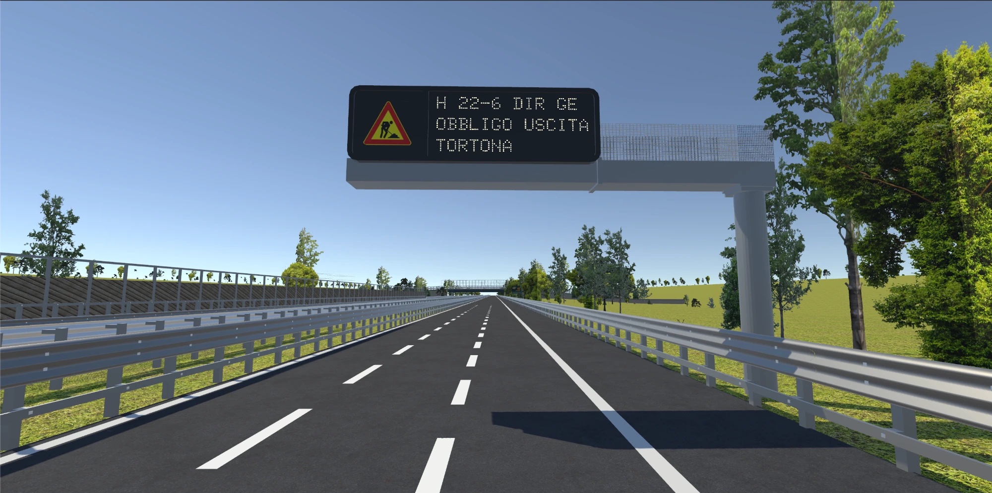
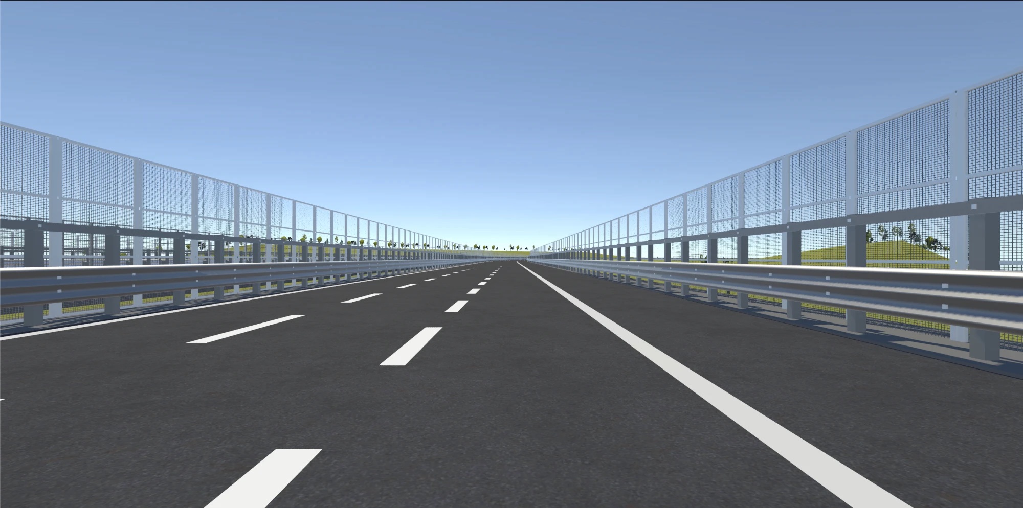
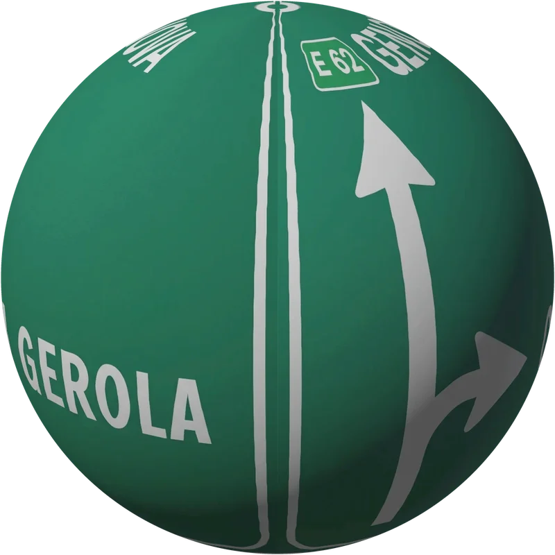
Real terrain and road layouts, buildings true to the local architecture, and markings and signage that comply with traffic regulations.
Immersion
Vegetation as crossed billboards with alpha clipping, stereo-compatible shaders and consistent colour.
Unity integration
FBX tiles and a Unity package that rebuilds the scene and its materials automatically.
Manual workflow
Open map data as a base, every layer finished by hand.
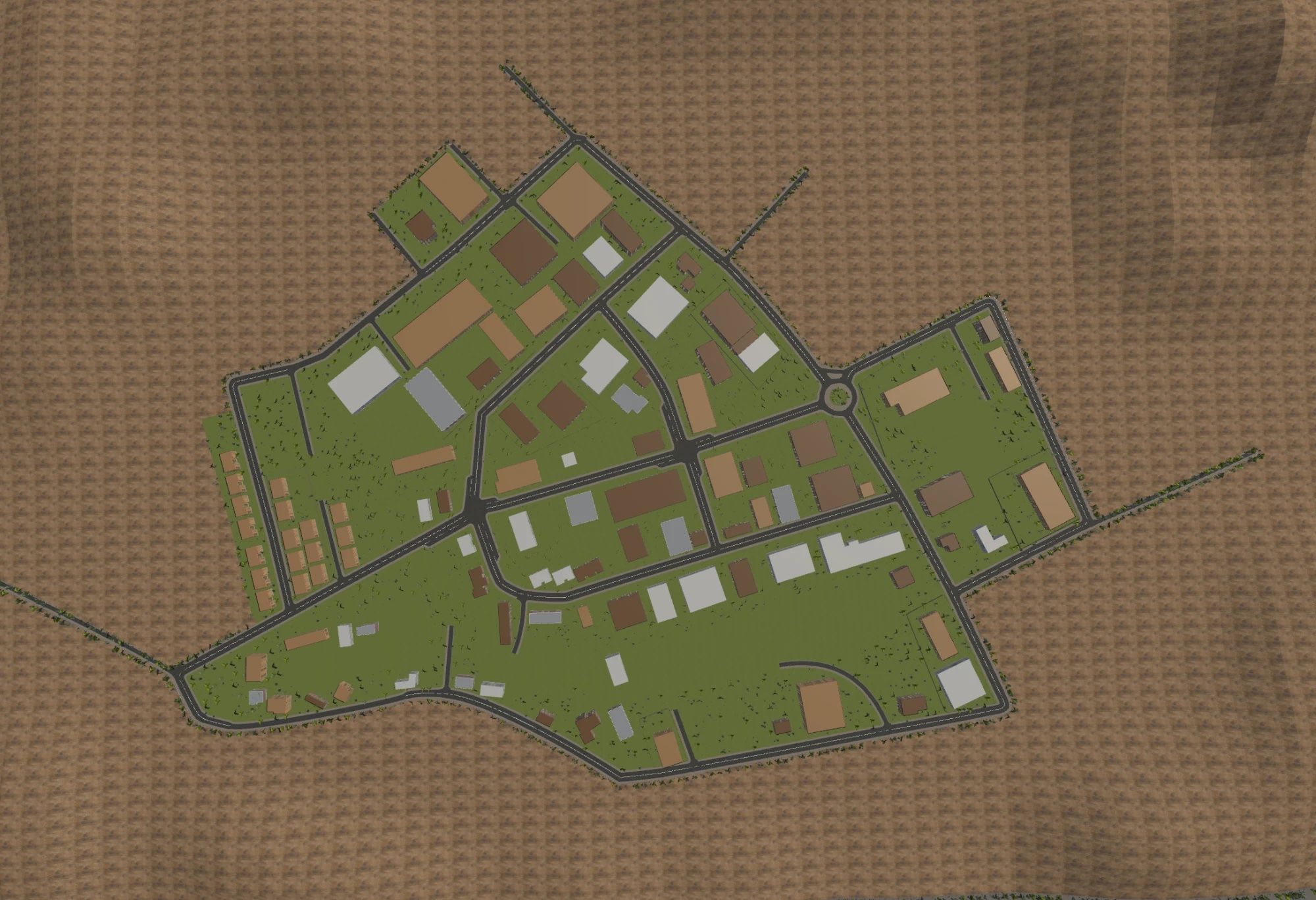
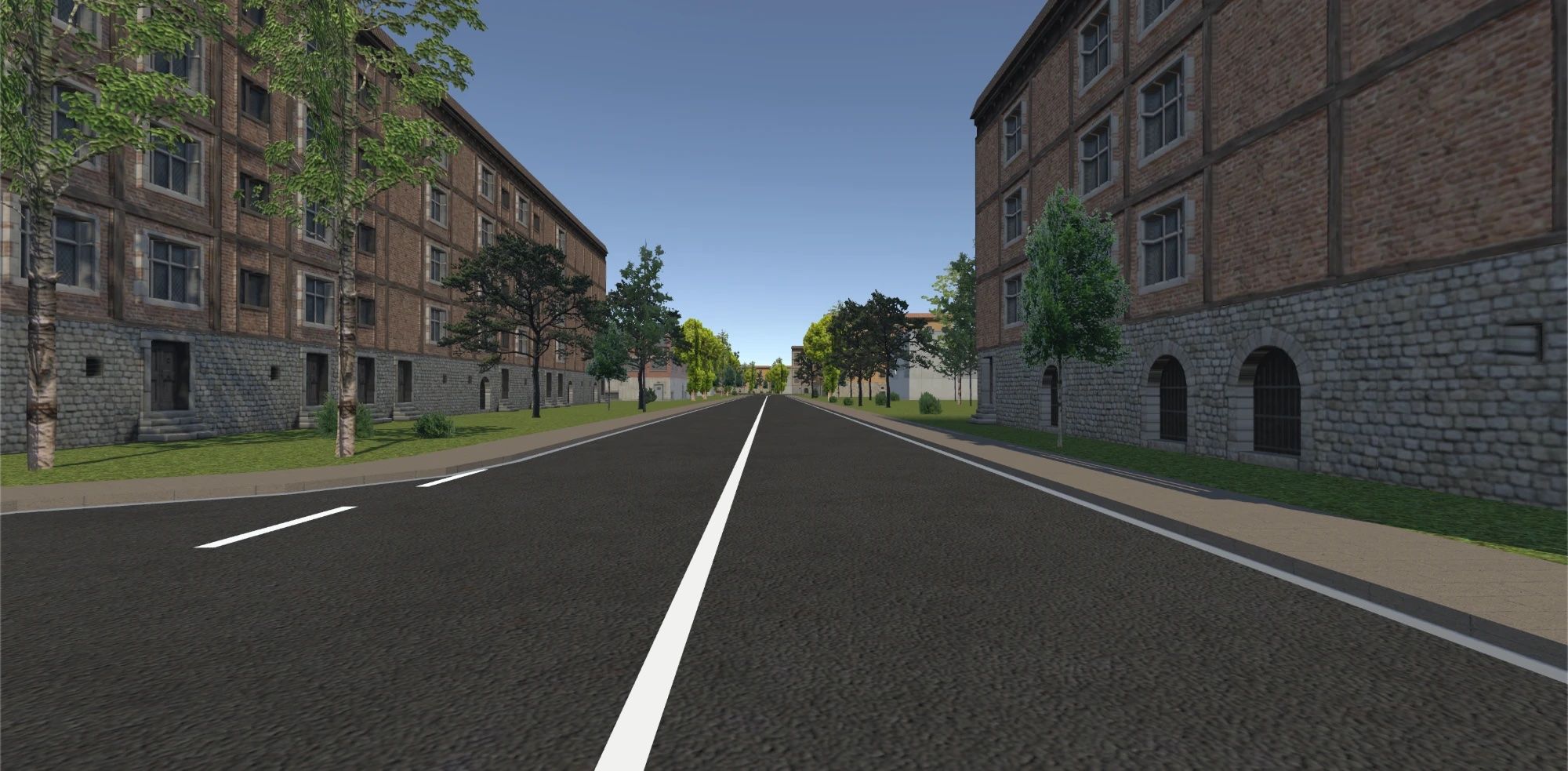
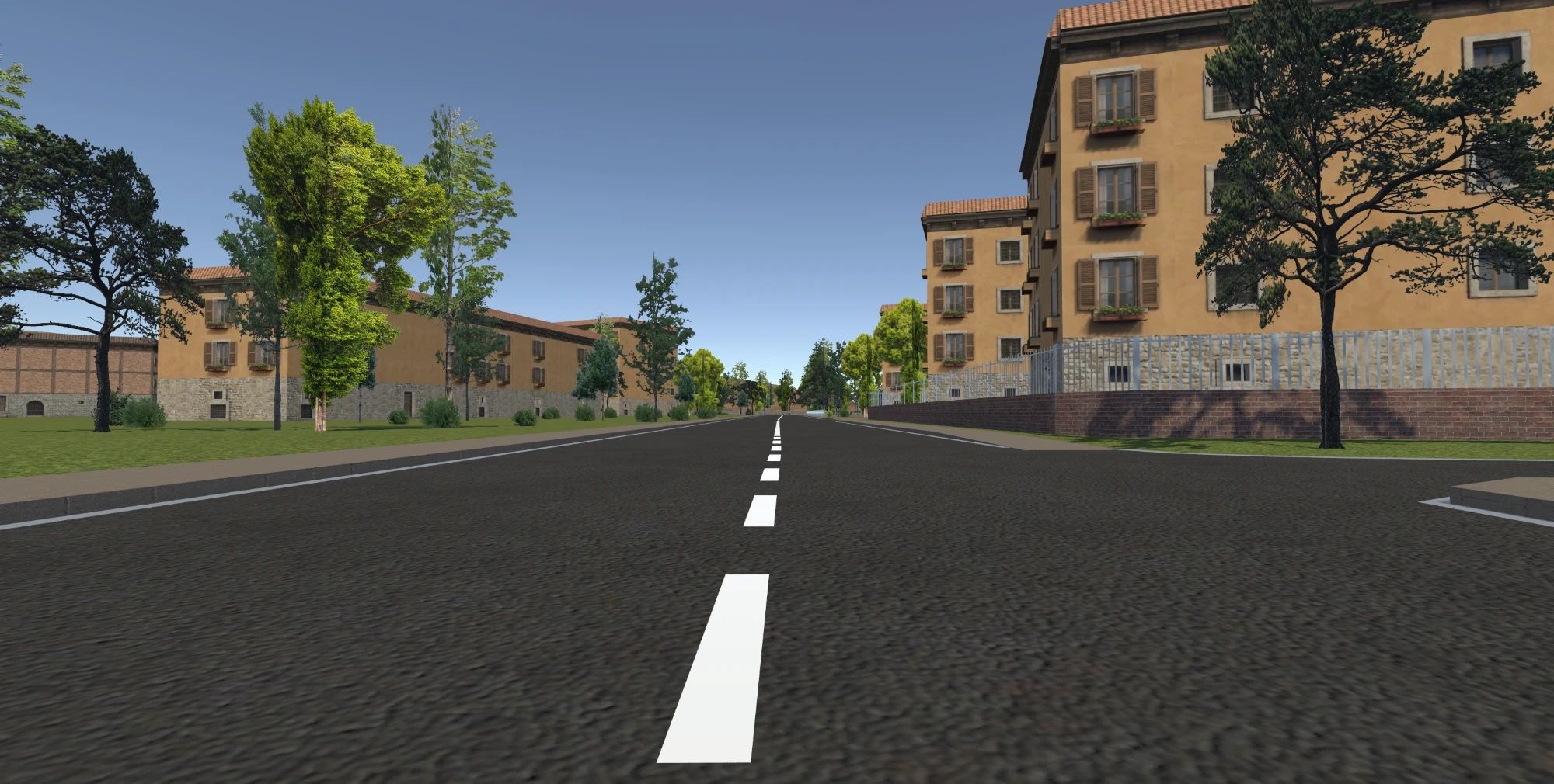
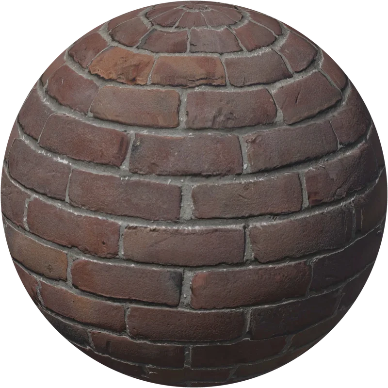
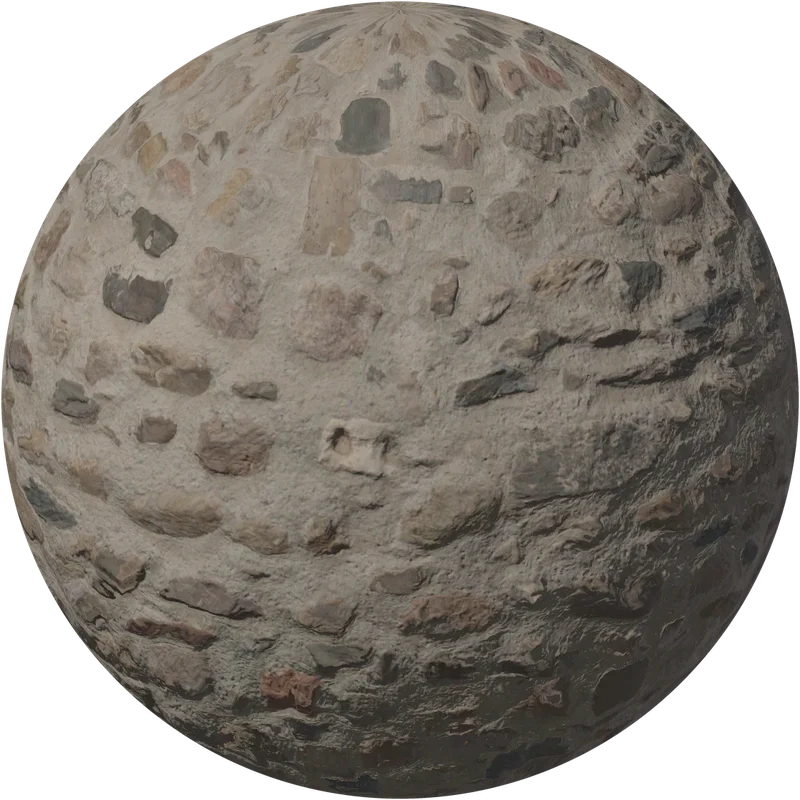
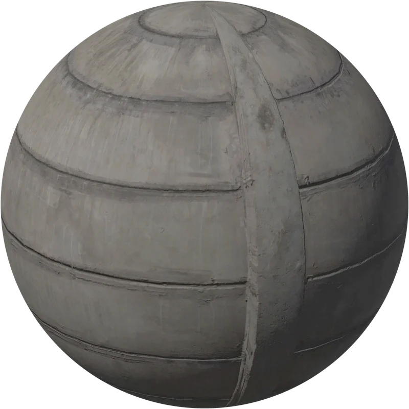
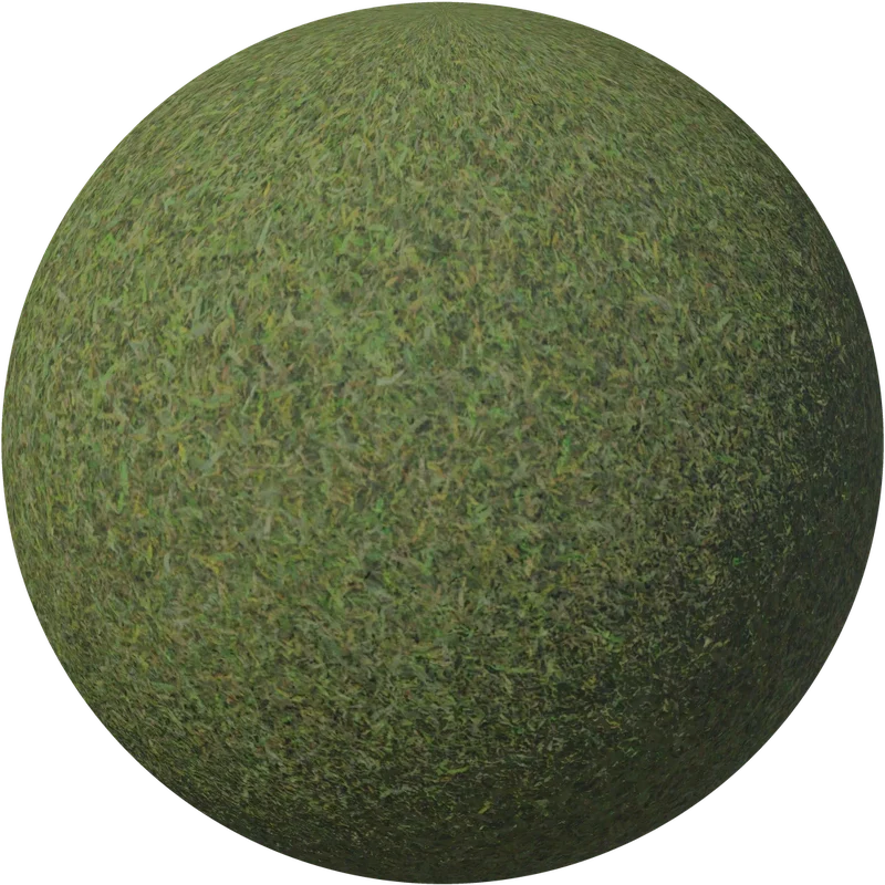
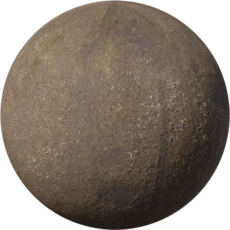
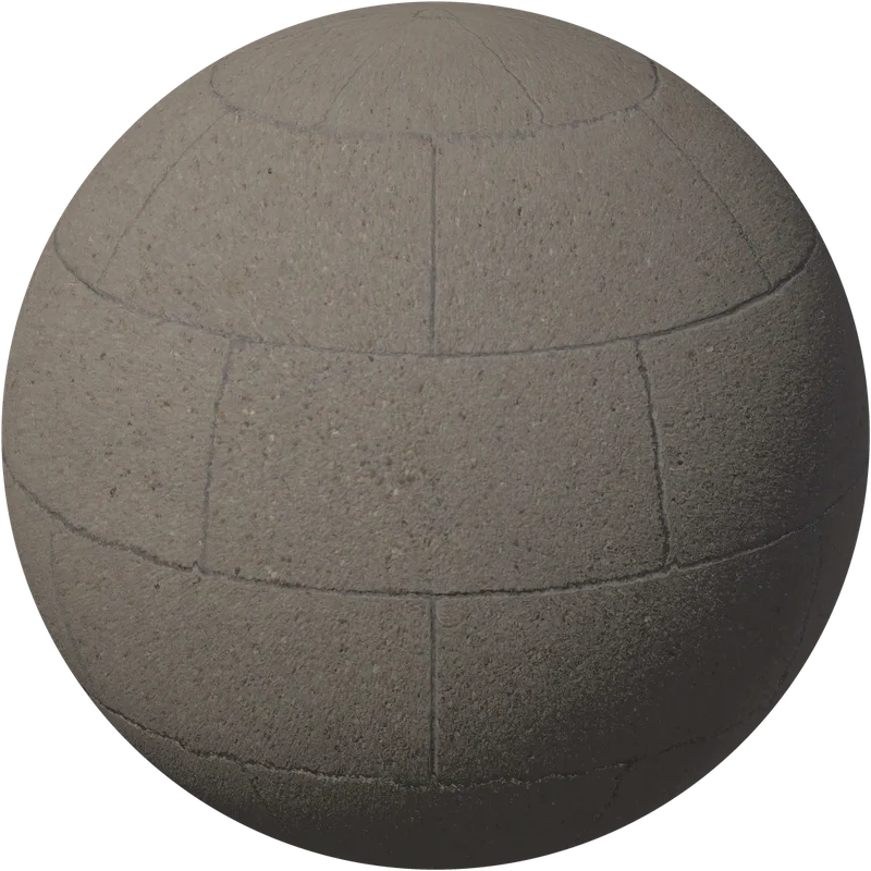
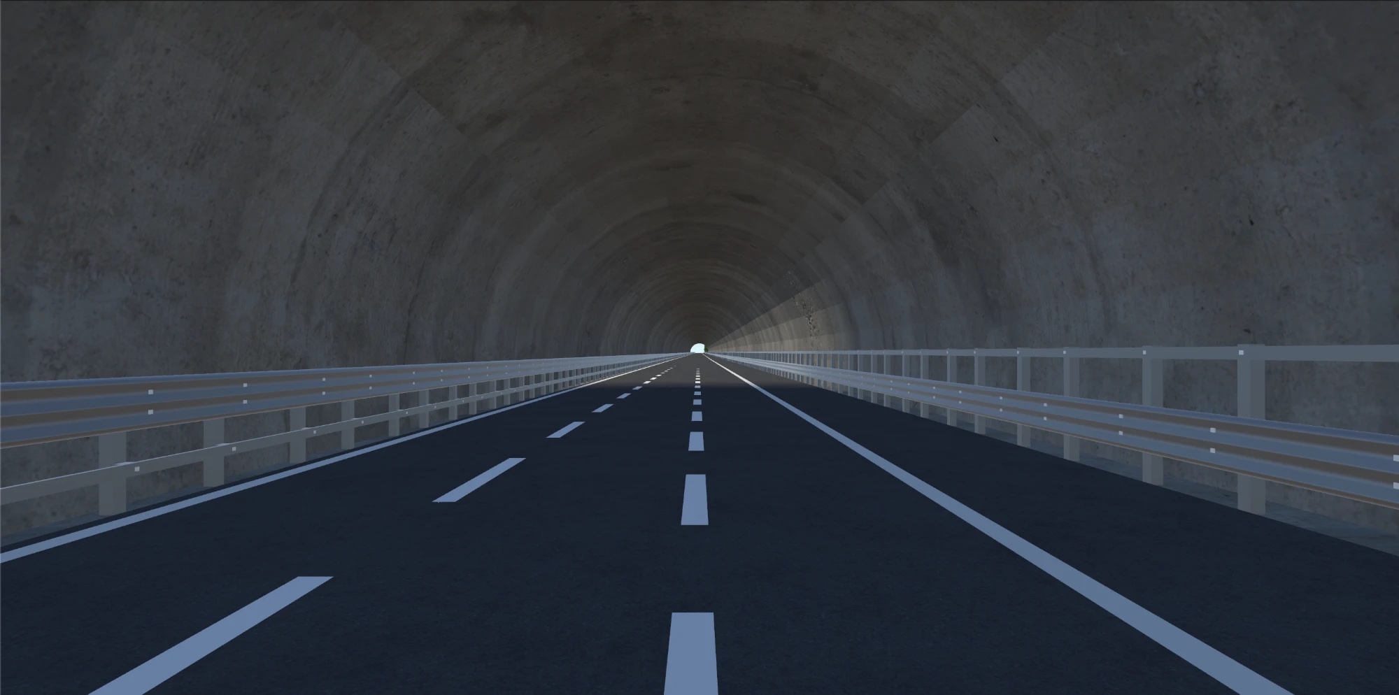
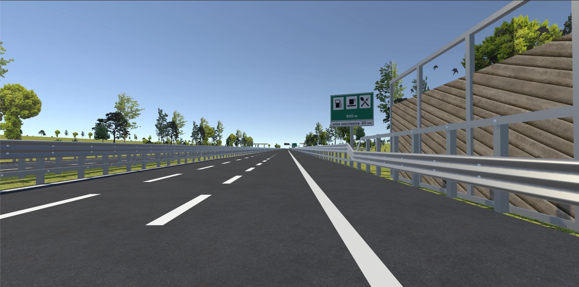
We started with a manual pipeline in Blender: OpenStreetMap and Blosm for roads and footprints, Buildify for the buildings, everything else by hand, then tiles for Unity. This phase defined what works best in the simulator, which texture sources to use and an efficient workflow from an empty scene to simulation.
A town
A motorway
AI-assisted workflow
An AI agent builds the place in Blender, following the rules of the simulation.
The manual workflow is now automated. Claude works inside Blender and writes the Python that repeats the same steps, from data to Unity, following the rules defined by hand. Every layer is reviewed against the requirements and sent back until it is right.
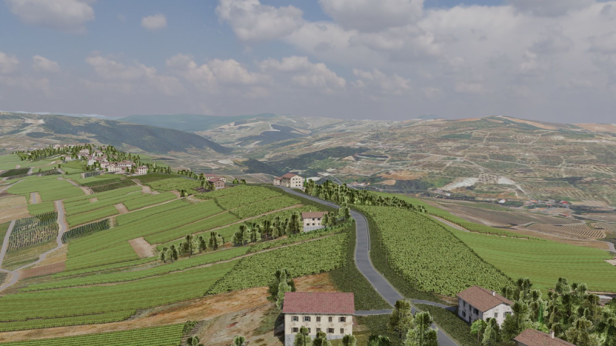
Oltrepò: a real road in the vineyards
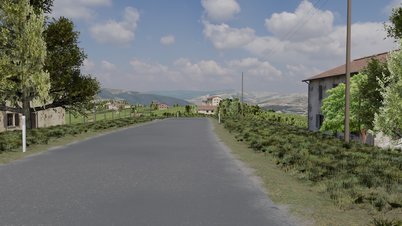
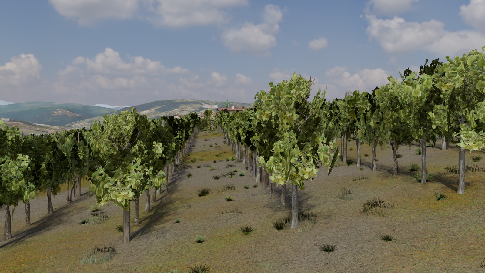
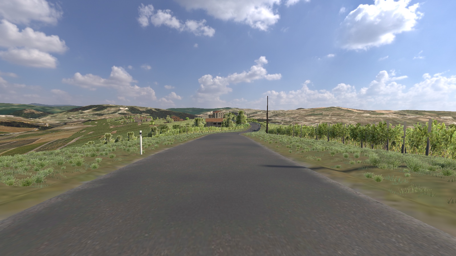
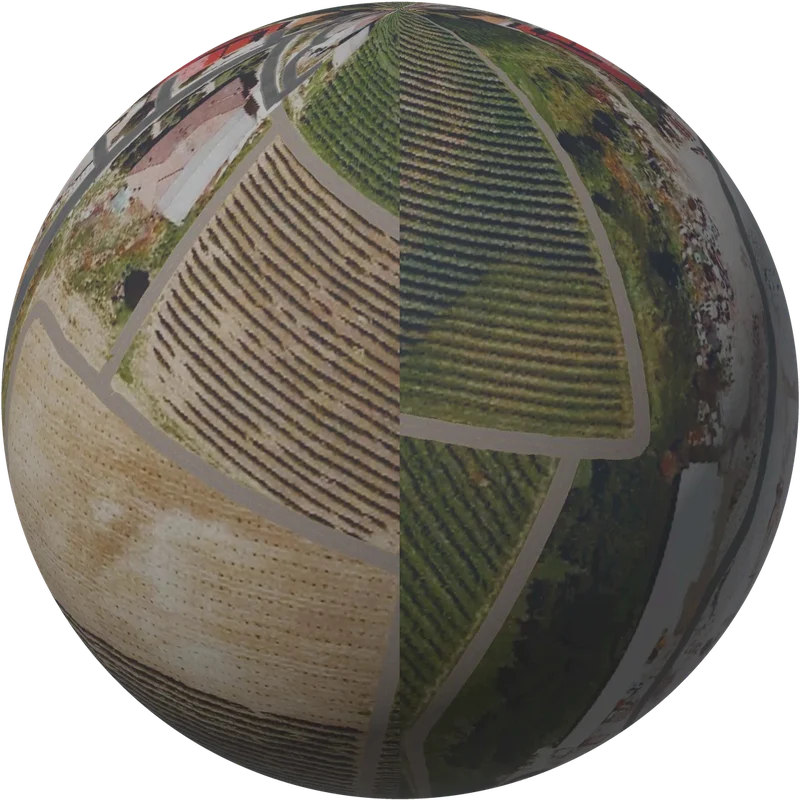
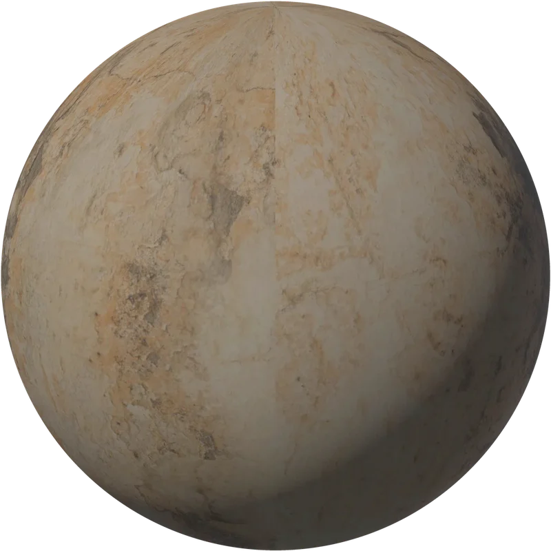
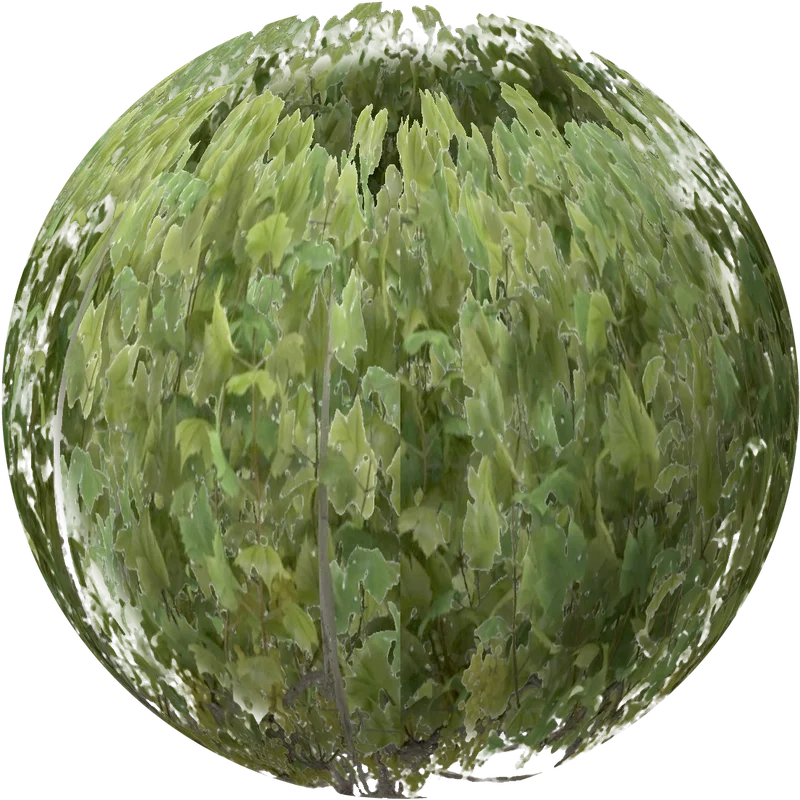
A real road in the Oltrepò hills, built on real data: the Regione Lombardia terrain model for every climb and descent, aerial photos for the vine rows, and OpenStreetMap for roads, buildings, woods, hedges and walls. The vegetation is made of cut-out images of local species on crossed planes.
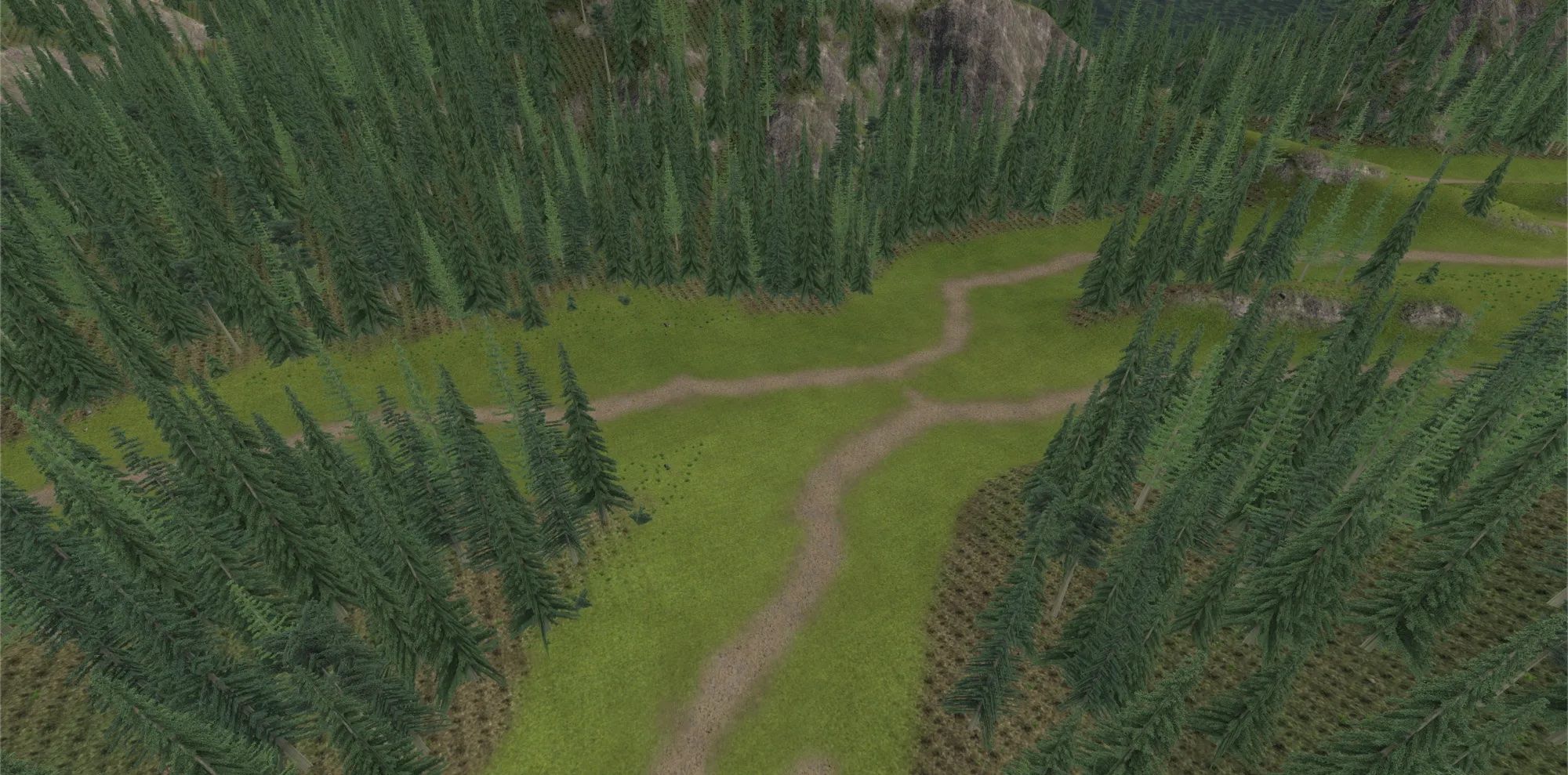
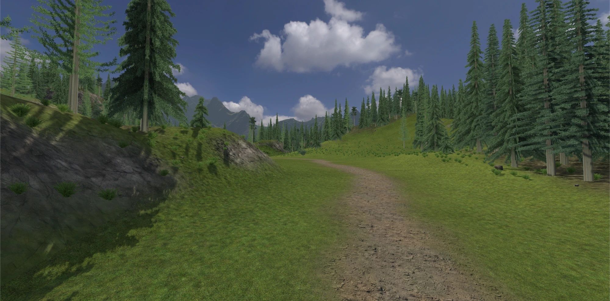
A mountain trail
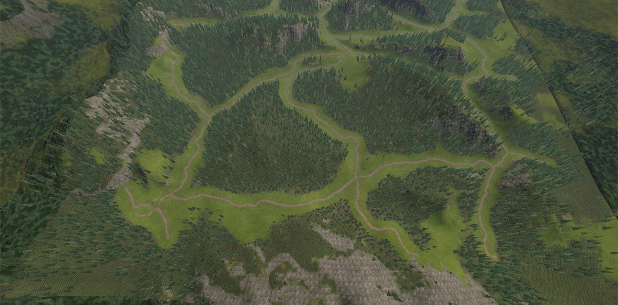
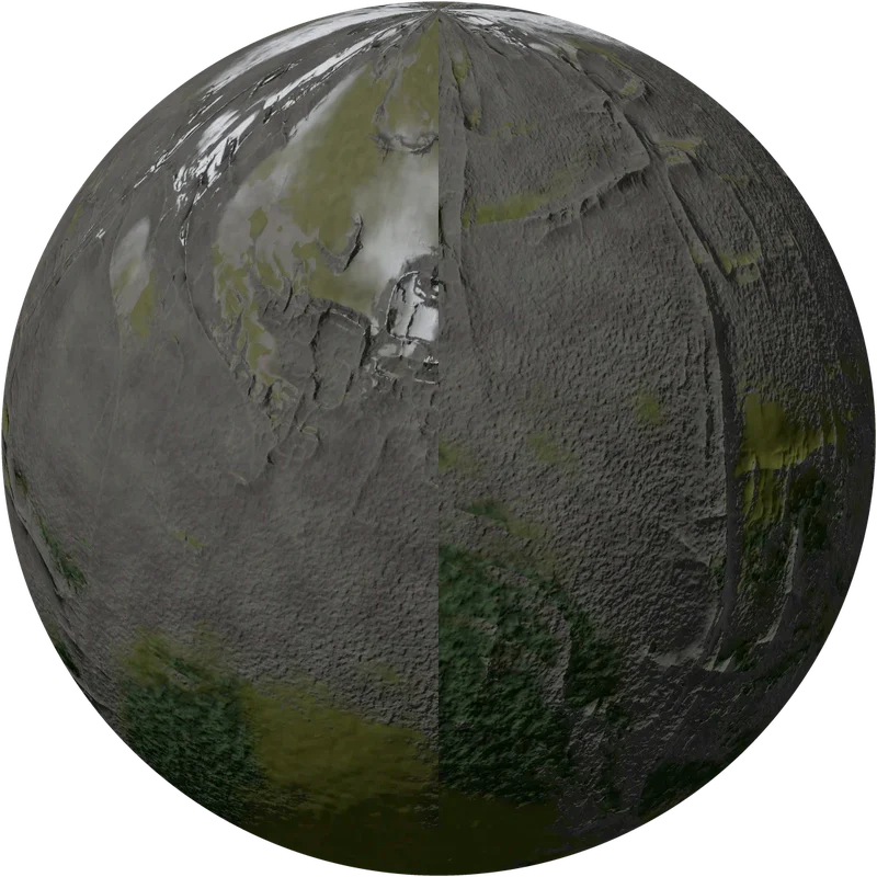
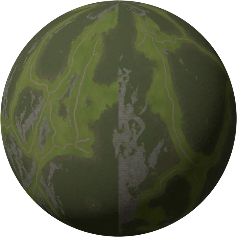
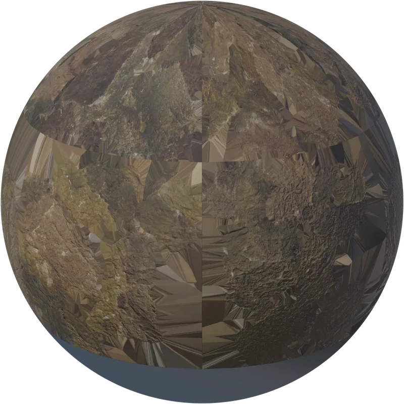
Here the terrain already existed: the work was to texture it and add the vegetation, keeping the trail clear and walkable.

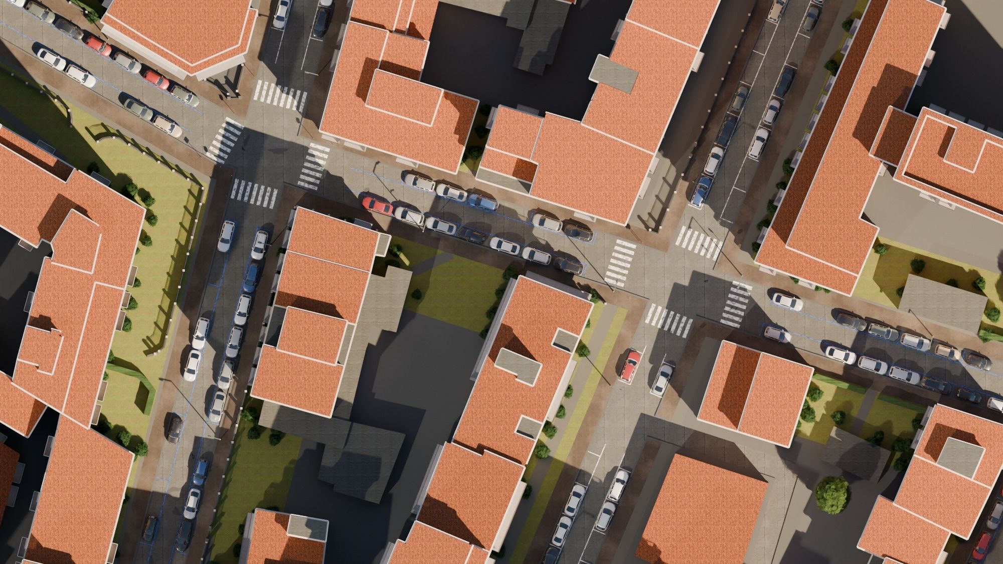
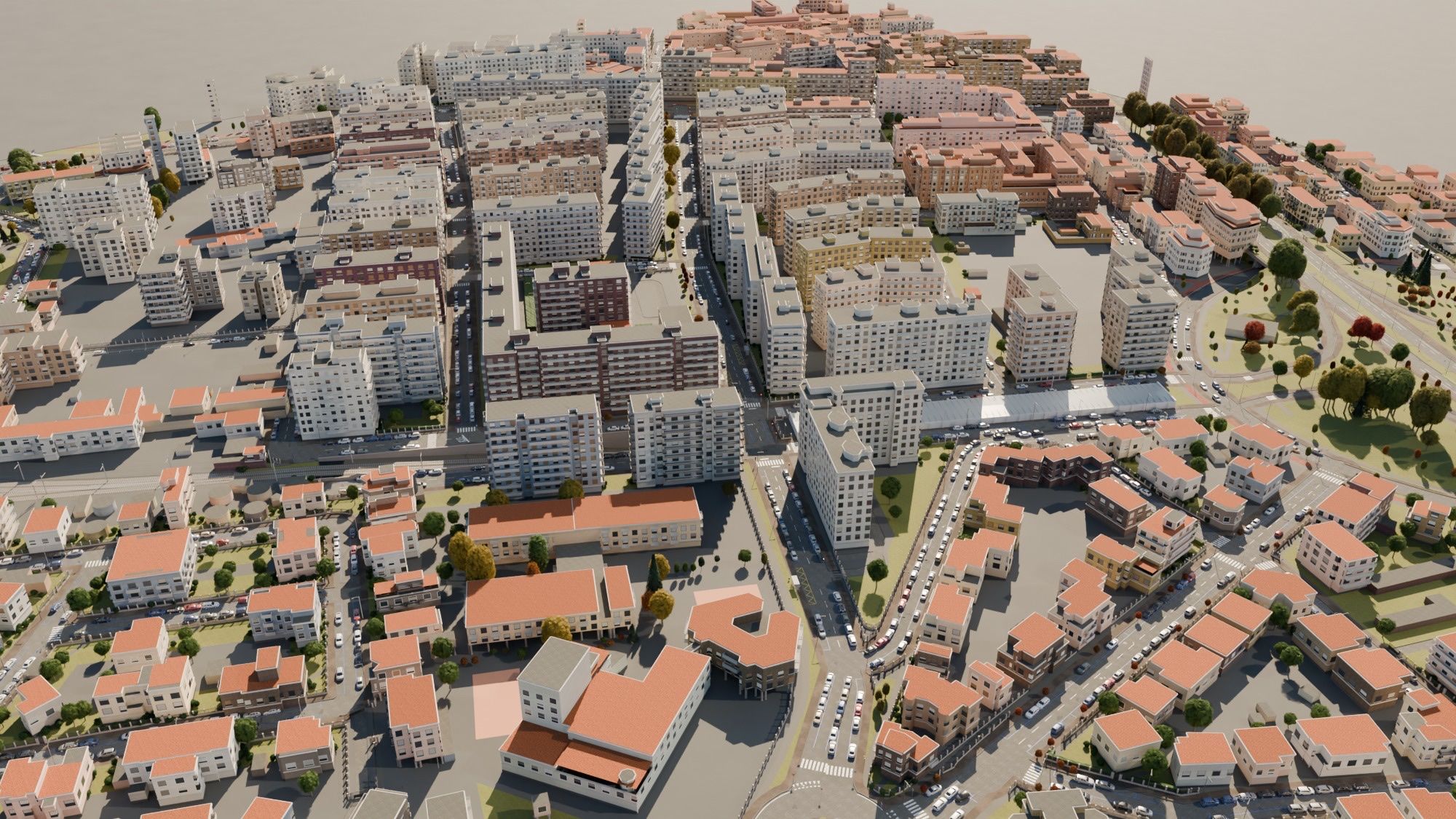
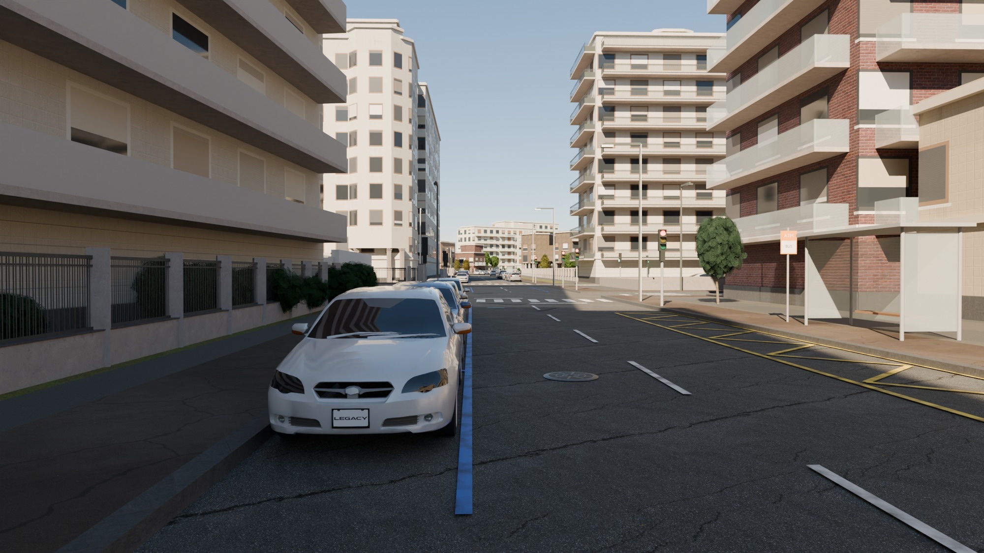
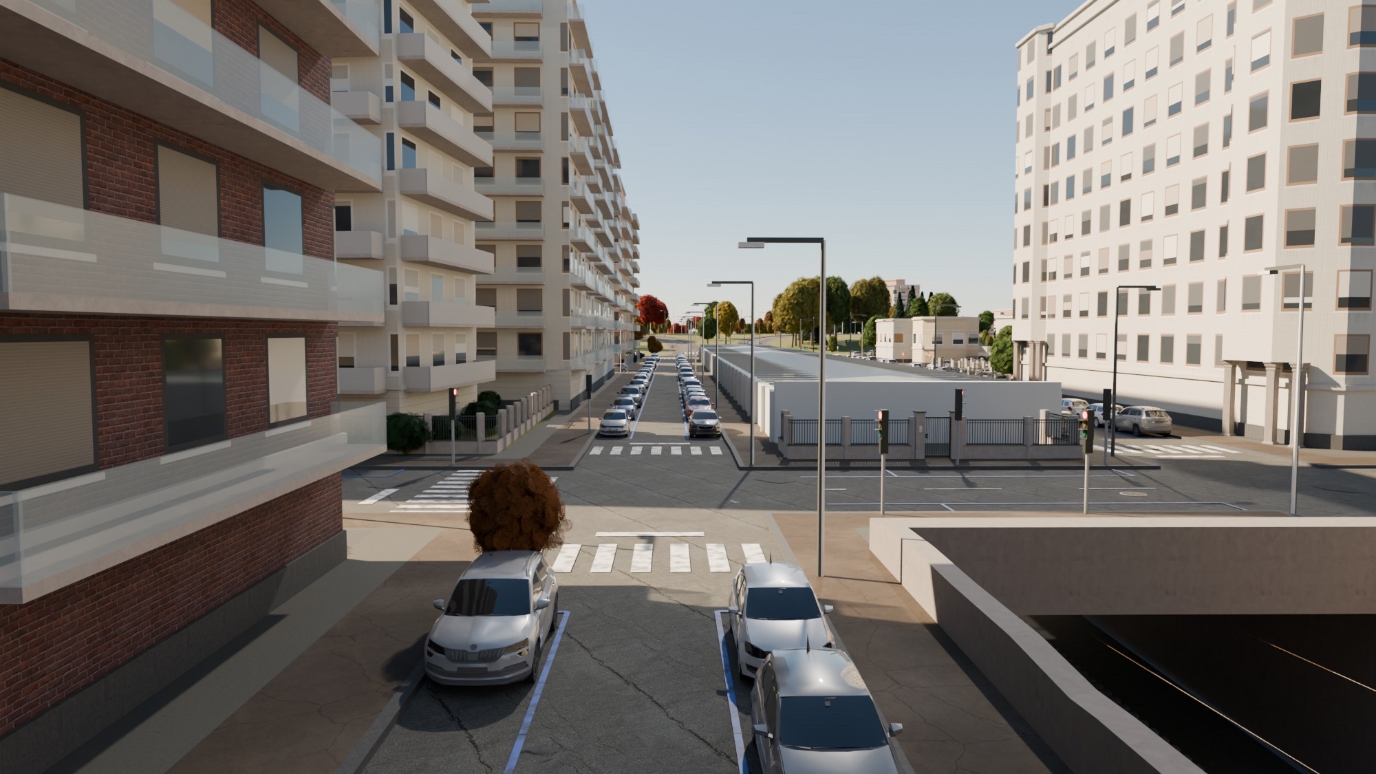
A Milan city street
What keeps it light
Detail only where people drive, walk and look.
The two workflows turned into a set of techniques that cut the weight of a scene without losing what matters for the simulation.
Exact where you move
The terrain is simplified everywhere except on roads and trails, where the geometry stays exact.
Only what can be seen
Visibility is computed from eye height along the route; hidden trees and stones are removed.
Trees as billboards
Two planes crossed at right angles: four triangles per plant.
Next steps
Towards software that builds a simulation-ready map from a single prompt.
The next step is a tool, built on skills and agents, that already knows the simulator’s requirements and the techniques defined in this project. Choose a place, and it is reconstructed as faithfully as possible, from terrain and roads to buildings, vegetation and signage, ready for simulation.
What still needs work
- Every step still needs a precise brief and a human review.
- Procedural objects can look repetitive at close range, buildings in particular.
- Roundabouts, underpasses, overpasses and complex junctions are still modelled by hand.